


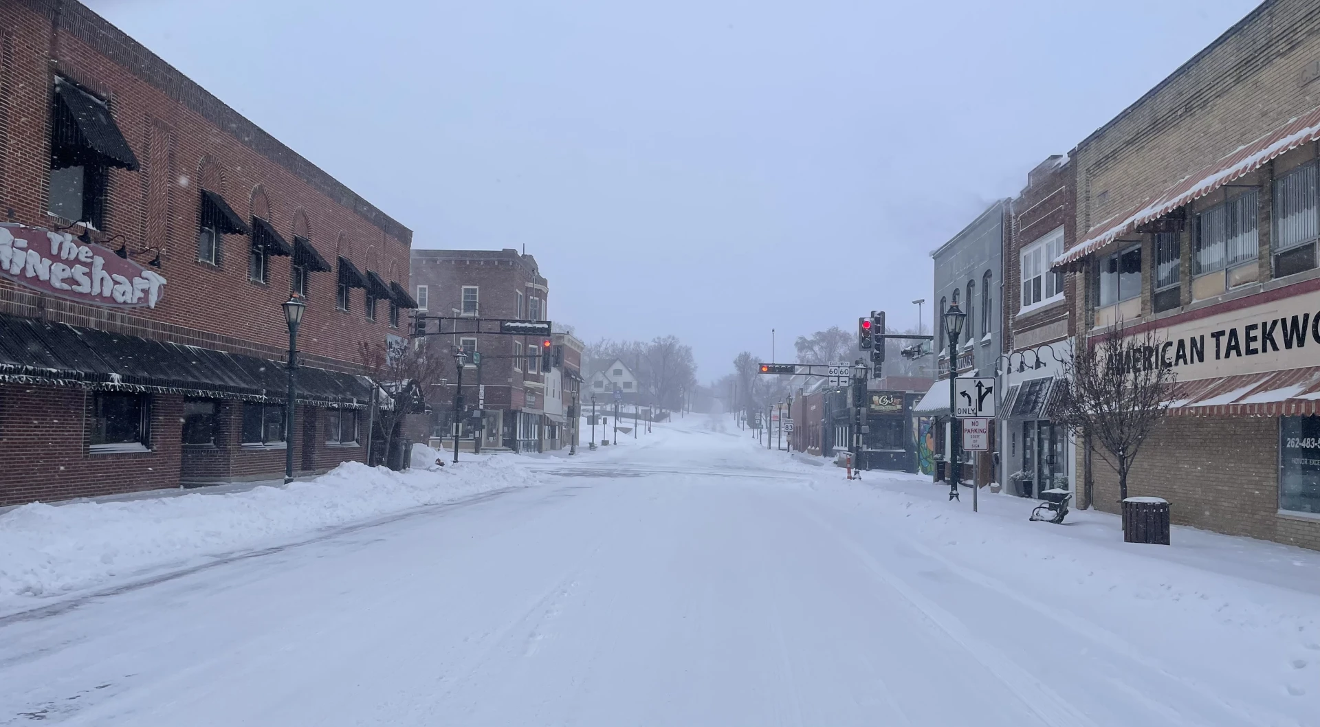
Monday, March 16 is all about heavy snow.
A blizzard warning was issued for southeast Wisconsin until 4 p.m. Heavy snowfall dropped this morning and is expected to taper off by the afternoon. Wind gusts of around 40 mph were reported. The system will clear out by late afternoon.
The snow will taper off this afternoon, and blowing snow will continue to be an issue. Overnight lows are expected to fall into the single-digits, due to gradual clearing. Wind chills may dip several degrees below-zero.
Area schools closed, including some businesses, village offices and libraries.
Weatherology Lead Forecaster Paul Trambley told WTKM that visibility while traveling will be compromised.
"Travel is not advised through the day, today with the strong winds expected to diminish by this evening. The conditions will improve by tonight with bitter cold temperatures for your low, close to zero."
The We Energies power outage map reported around 13,000 customers without power on Monday morning, March 16 due to the winter storm. It showed 13,256 customers still without service.
The blizzard warning was issued for Washington, Dodge, Jefferson, Fond du Lac, Ozaukee, Racine, Sheboygan, Walworth, Waukesha and Milwaukee counties.
The Wisconsin Department of Transportation urged people to stay home and limit travel only to emergencies.