


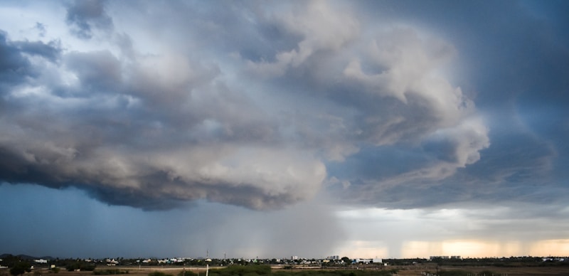
Monday night, April 13 began with a tornado watch for Ozaukee, Washington, Sheboygan, Dodge, and Fond du Lac counties until 10 p.m. A watch means conditions are favorable for severe storms.
Storms, along with tornado watches, warnings and advisories continued through the early morning of Tuesday, April 14. Thousands were reported without power in the early morning.
Area fire departments and law enforcement released reminders to treat all downed power lines as live, stay clear. Use flashlights, not candles and keep generators outside and away from doors and windows.
There were reports of multiple trees and wires down around southeast Wisconsin.
All warnings had expired by 2:30 a.m.
Showers and thunderstorms are back in the forecast for Tuesday, April 14 after 2 p.m. An expected high of 77 degrees with showers and thunderstorms Tuesday night.
Wednesday, April 15 will see a good chance of more showers and thunderstorms.
Weatherology Lead Forecaster Paul Trambley told WTKM about some possible heavy rain at times.
"Bouts of rain and possible thunderstorms are back for Tuesday, with heavy rain possible Tuesday night. Showers return on Wednesday and Wednesday night."
A high temperature of 70 is expected for Wednesday, April 15.