


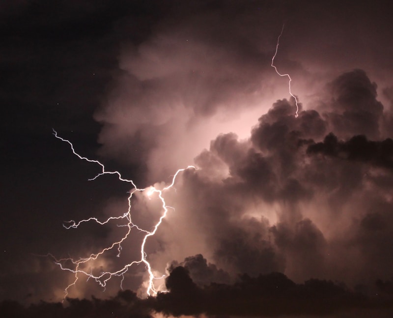
It's expected to be a muggy start for Wednesday, June 10 followed by a chance of thunderstorms. Some could be severe, according to Weatherology Lead Forecaster Paul Trambley.
"We are going to see an active weather period. More bouts of strong storms around the region are expected. An upper level trough is expected to swing east across the northern plains into the Great Lakes. It's likely today and into Thursday as well. We are going to stay with some scattered storms building around the area."
Those storms are expected Wednesday afternoon, June 10 and into Wednesday evening. Hail is possible along with gusty winds. A high temperature will reach 86 degrees.
Thursday, June 11 expect another round of strong to severe thunderstorms during the afternoon and evening, as a cold front sweeps through southern Wisconsin.
Friday, June 12 will bring lower humidity, seasonable temperatures, and sunshine with a high of 80 degrees.